Design + Eng · 2024–now
Land Owl
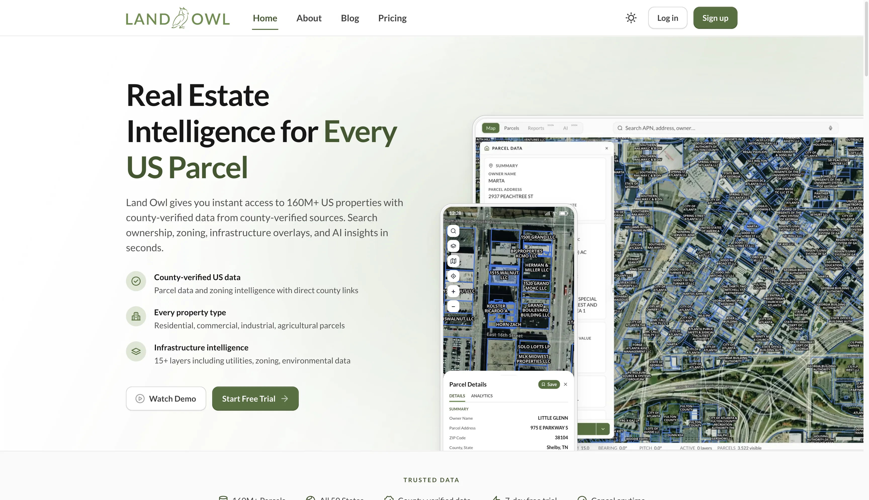
A map-first parcel-intelligence platform that puts 160M+ US properties — with county-verified ownership, zoning, valuation and infrastructure data — on one interactive map. The hard part: land research is fragmented across thousands of county sources, so I unified it into a single fast, queryable, verifiable surface.
- TypeScript
- React
- Mapbox
- Supabase
- Cloudflare
Land Owl is a research-first tool for people who work with land — investors, developers and land professionals. At its core is a database of 160M+ parcels across all 50 states, each backed by county-verified ownership, sales and valuation data, with direct links back to the county assessment sources so any record can be verified.
On top of the base parcels sit 15+ data overlays — zoning classifications and permitted uses, utilities, transmission lines and substations, gas pipelines, flood zones, wetlands and soil drainage — so a full due-diligence picture lives in one map instead of a dozen browser tabs. Users can filter the whole dataset by 30+ attributes, save thousands of parcels with tags and notes, compare properties side by side, and export to CSV, Excel or PDF.
The real engineering challenge was consolidation and scale. Parcel and assessment data is fragmented across thousands of county authorities in inconsistent formats, so the work was normalising it into one county-verified dataset while keeping every record traceable to source — then making 160M+ parcels stay responsive on a live map while users run broad, multi-attribute filters across many overlay layers that each have their own geometry and update cadence.
The result collapses fragmented, hard-to-verify land data into one fast, map-first workflow — available on a permanent free plan with paid tiers — so buyers can do serious research and off-market deal-finding early, without stitching together county websites and separate data sources.
What the client said