Design + Eng · 2025
Hantavirus Map
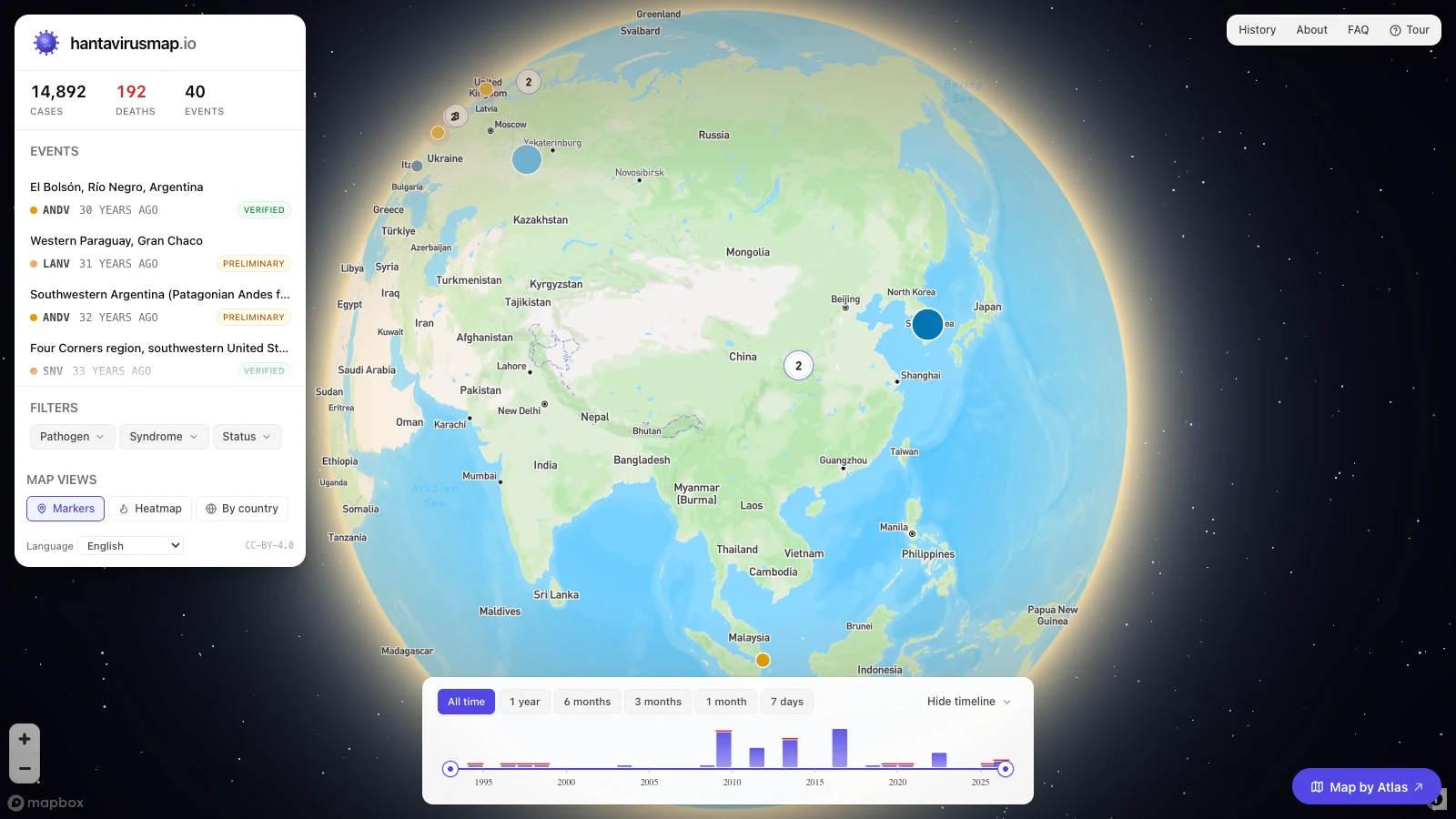
A free, public-good tracker mapping every documented hantavirus outbreak from 1993 to today. Every event is source-cited — curated from WHO, CDC, ECDC, PAHO and peer-reviewed literature — with a timeline, filters by pathogen and syndrome, and running case and death counts.
- TypeScript
- React
- Mapbox GL
Hantavirus Map plots every documented hantavirus outbreak since 1993 on an interactive globe. Each marker is an event you can inspect — location, pathogen (ANDV, SNV, LANV…), cases and deaths — and every figure is cited back to a primary source: WHO, CDC, ECDC, PAHO, or the peer-reviewed literature.
It’s built as a public good, not a surveillance system — data is curated on a delay and every numeric claim is verified against a verbatim source quote. A timeline scrubs from 1993 to today, and filters cut the map by pathogen, syndrome and verification status.